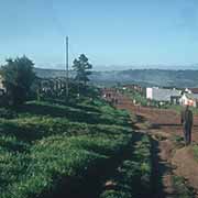
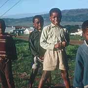
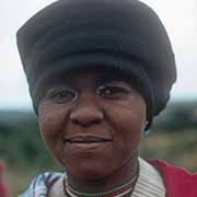
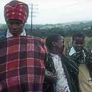
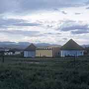
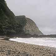
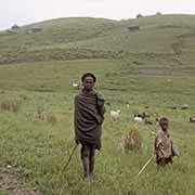
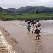
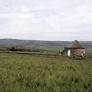
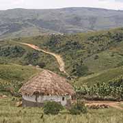
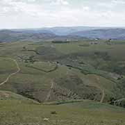
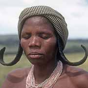
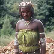
Photos of Eastern Cape Province, heartland of the Xhosa, South Africa

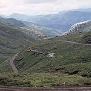
Eastern Cape Province, heartland of the Xhosa
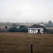
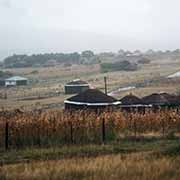
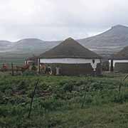
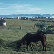
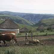
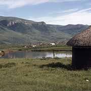
The Eastern Cape Province was formed in 1994, merging the eastern portion of the large Cape Province with the defunct Xhosa “Homelands” or Bantustans of Ciskei and Transkei. The Xhosa Kingdom in the 19th century was one of the most powerful in Africa and fought the encroachment of Dutch “Trekboers” and later the British for a hundred years: the nine Xhosa Wars, 1779 to 1879.
you may then send it as a postcard if you wish.


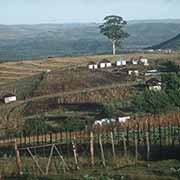
When the National Party, an Afrikaner nationalist party, came to power in South Africa in 1948, it strengthened racial segregation. It soon adopted a policy known by the Afrikaner (Dutch) term “Apartheid”. Presented as “Separate Development”, it envisaged all black African people to become “citizens” of separate tribal homelands that would be established with their own institutions, leading to independence. They would then cease to be South African citizens. The first of these homelands was Transkei, a reasonably large region between Lesotho and the Indian Ocean, with two small exclaves, Maluti and Umzimkulu.
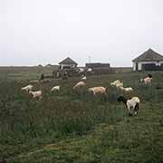
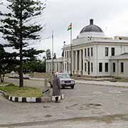
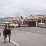
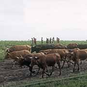
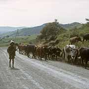
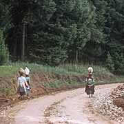
Transkei received self-government in 1963 and nominal independence in 1976, with as leader Chief Kaiser Daliwonga Matanzima. The capital was Umtata (Mthatha) with its parliament building, the Bunga (now the Nelson Mandela Museum). No country, apart from South Africa, recognised the Transkei’s independence. The country’s economy remained tied to South Africa - local men worked in the Rand goldmines. Matanzima ruled as a dictator and, faced with evidence of corruption, had to step down as president.
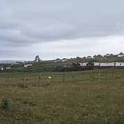
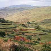
Across the Kei River, separated from Transkei by white South African territory, was the much smaller Xhosa homeland of Ciskei. It had received self-government in 1972 and nominal independence in 1981. Its capital initially was Zwelitsha and later Bisho (Bhisho): presently the capital of Eastern Cape Province. In 1987 Transkei, much larger and wealthier, decided to push its claims on Ciskei and undertook military raids on the state, including an attack on the compound of its leader, Lennox Sebe, to force him to agree to the merger of the two Xhosa states. South African authorities intervened to stop this.
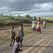
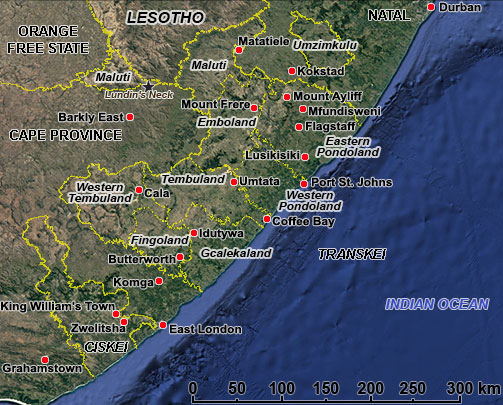
Both Transkei and Ciskei were reintegrated into South Africa on 27 April 1994. The map following shows the borders of Ciskei and Transkei as they were when the photos on this page were taken, with the boundaries of the different subgroups of Xhosa-speaking peoples.
| CISKEI AND TRANSKEI BEFORE 1994 |
 |